Proposal
A CONFLUENCE OF PEOPLE + ECOLOGY IN NEIGHBORHOOD SPECIFIC HUBS — AS COMMUNITY ZONES FOR CONTINUING EDUCATION, DEMONSTRATION, AND THE EVOLUTION OF PLANNING.
❖ What BENEFIT would support the DEVELOPER to:
• Meet more than just the minimum possible requirements for developing the land, in order to integrate a native ecological benefit for the entire surrounding region
•
❖ What BENEFIT would support the ENVIRONMENT
•
Project Summary
COMMUNITY HUB DEMONSTRATION
What Is A HUB?
Who Is A HUB?
WHY Is A HUB?
HOW Is A HUB? This project seeks to ask and endeavor to show — How can we demonstrate each of our shared values in a succinct way that features each value while sustaining the whole?
WHERE Is A HUB?
EXAMPLE ‘WEST’ HUB?
334 ❖ 336 ❖ 338 west Arapahoe ave
POSSIBLE LOCATION: (Parcel _______) A single property with 3 updated (currently rental) units of Historical Neighborhood Value at 334, 336, 338 Arapahoe Ave, adjacent to Eben G Fine Park, hiking trails, open space, walking distance to West Pearl downtown, and other key features.
CURRENTLY UNDER PERMIT FOR DEMOLITION IN JUNE 2026 — YET This location may already be ideally suited to demonstrate leading housing and ecological integrations for mutual benefit of city, county, and ecological interests.
While permits are not yet acquired for building, the location is being considered to become a driveway as part of a proposed development plan at the lot just behind it for a 12 unit luxury condo at several M per unit, with 4 units of affordable housing to be only 1M. There currently exists a useable entrance and drive right off Arapahoe, with no clear reason being presented for why demolition would be necessary to achieve the development goal.
Where is the neighborhood or PUBLIC REVIEW and due process in the timeline?
REASON / BENEFITS FOR THIS LOCATION: The activity is already here. The opportunity is to demonstrate and showcase it — as an active HUB of stakeholders + ecology (all voices) present and represented here:
CITY + COUNTY + NATIVE RIGHTS CONVERGENGE
Currently, all this is present on site or within 1 block: The City, the County, The Native American Fund, the Historical Neighborhood of West Boulder, the Water Rights Ditch, and the Ecology of Resources + Recreation where the Creek, and Mountains meet the Plains here on the front range.
• The City is on one side of the street (property side), the County on the other. (This small section of a few blocks was county, but now zoned city.)
• Water Rights Ditch runs through the property.
• The Native American Rights Fund is across the street.
• Parking: Existing private parking lot with 3-5 parking spaces at the entrance.
SOCIAL ACCESS
• Boulder Creek and Eben G Fine Park are across the street. The park attracts a lot of visitors which walk and drive right by this property.
• Hiking Trail heads start at this property and at the park across the street, and continue from along the front range.
DIVERSE + DEMONSTRABLE ECOLOGY
In short, this specific address and precise location is already an excellent HUB for physical + social representation as it showcases a confluence of values = development AND ecology.
The opportunity is to use the existing elements together in a way that highlights sustainabilty and ‘leading edge planning’ for the future of housing, natural resources, recreation, and restoration. This site can be a positive experiment and an example of HOW it all works together.
Now it is poised to be a unique opportunity for the convergence of social development + ecology planning where the following entities already exist:
The City, the County, The Native American Fund, the Historical Neighborhood of West Boulder, the Water Rights Ditch, and the Ecology of Resources + Recreation where the Mountains meet the Plains here on the front range.
• Potential to showcase a modern housing development (next door) that provides a range of income tiers living together in a planned community with planned access to landscape, edible gardens, community — while also providing a working demonstration of a leading plan to integrate regenerative resource planning and ecological restoration (water planning and use, proximity to hiking, parks, creek, etc).
• Home to many old growth spruce and a host of other evergreens stabilizing the banks of the water ditch and spreading the water through the land which is on a grade running down the foot of the mountain straight into other properties immediately to either side and downhill.
• Recorded Habitat of species of Flemmling Owl. See site here for additonal information on their status and protection requirements.
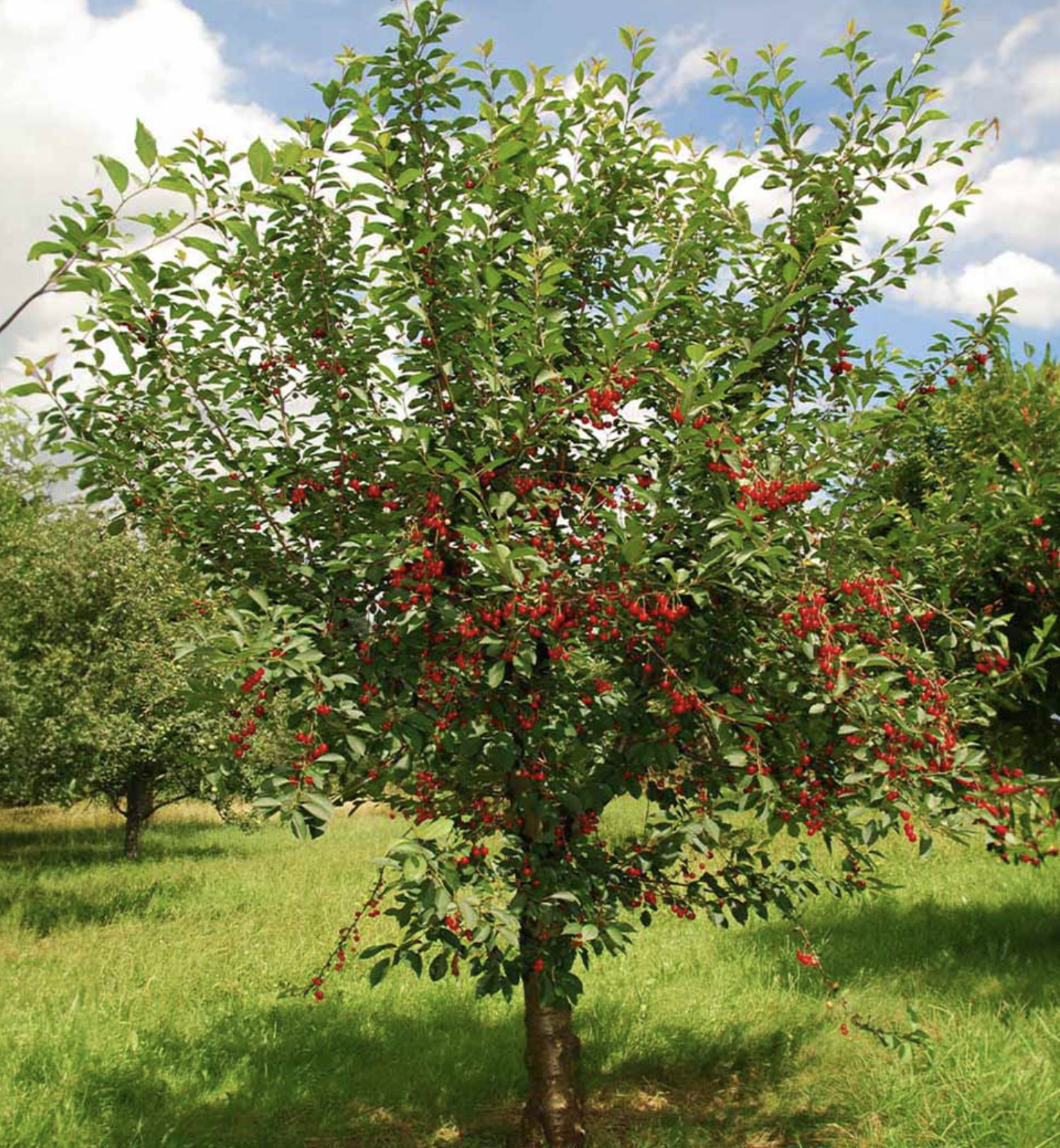
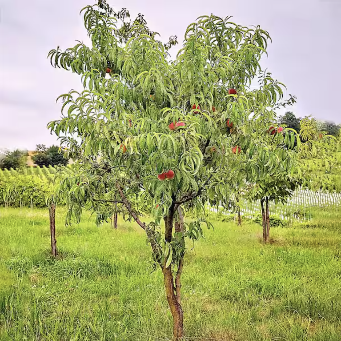
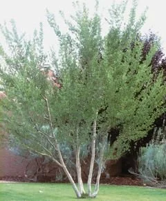
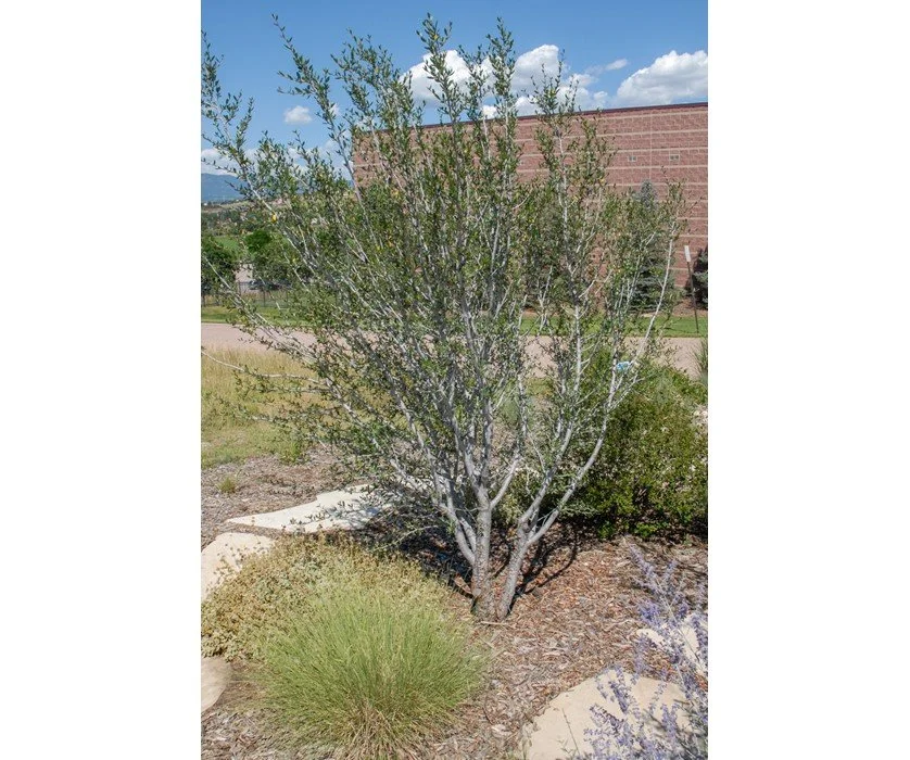
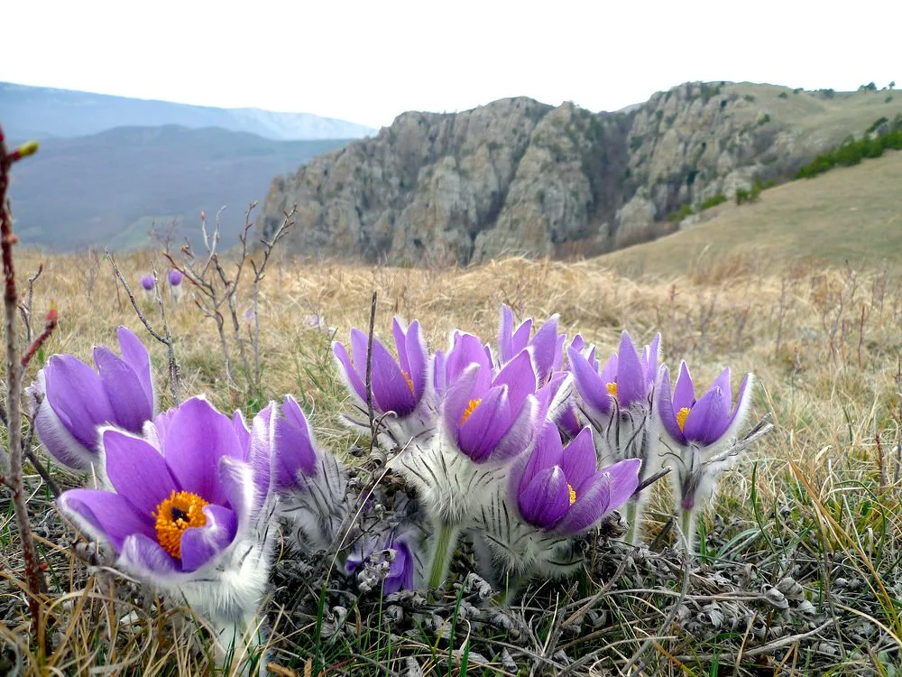
• Current landscaping exhibits a Native and Xeric species, a Low Water Use-Case scenario, and backyard Regenerative Agriculture practices such as Fruit Trees and flower guilds.
• Proposed landscape and resource planning would seek to mitigate fire risk while increasing water reuse and retention in the landscape through several key ways: a) Keep trees and plantings with robust roots to offset erosion, b) plan and plant a layered understory moisture retaining green-belt along the waterway / ditch as a re-planting plan after former flood mitigation, c) demonstrate landscape plan the showcases both healthy fire mitigation while at the same time showcasing healthy layered ecology for a robust ecosystem that can withstand and minimize susceptibilty to extremes.
For example, if the ditch banks are disturbed through development (of minimal guidelines), even with a drainage plan to take water straight to the sewer, it could greatly heighten the risk of fire and flood to this neighborhood. A more thoughtful and robust ecological revised plan would be able to highlight the unique character and temperament of the land and neighborhood — and work in step with how the ecological resources move and flow through the land, as well as how building and development can demonstrate positive sustainable use of resources, saving on cost across multiple bottom lines including social, ecological, and financial.
this location could be one of various neighborhood hubs weaving a demonstration of a city + county COHERENT conversation
Each of these features is precisely in line with the current values the 4 Planning Boards are asking to see more of or are interested in integrating into the larger comprehensive plan in terms of a focus on designating ecological land use for specific purposes including education, recreation, restoration, and regenerative agriculture in an accessible and cost-effective way.
This does multiple beneficial things,
POTENTIAL FOR COLLABORATION
❖ MULTI ZONE
❖ OPPORTUNITY FOR COLLABORATION OF VOICES, STAKEHOLDERS, +/or SPECIAL INTERESTS:
What BENEFIT would support the DEVELOPER to:
• Meet more than just the minimum possible requirements for developing the land, in order to integrate a native ecological benefit for the entire surrounding region
• Such as a purchase or a designation of funding specifically with provision to keep these historical units and this lot intact for ongoing use as a Community HUB.
• Working together with the Developer to show, demonstrate, and educate HUB visitors on how ecological + housing values are actually able to work together viably.
• Using the private development as an educational talking point and using the community HUB as an educational location for hosting tours of how the planning for building and use of natural resources is valuable to the process of development and resource management moving forward.
What BENEFIT would support the CITY + COUNTY
• Showing how all interests can be demonstrated to work together.
What BENEFT would support the ECO-SYSTEM
• Natural respect for and reuse of elements and resources, through how housing approaches the balance of elements in immediate environment.
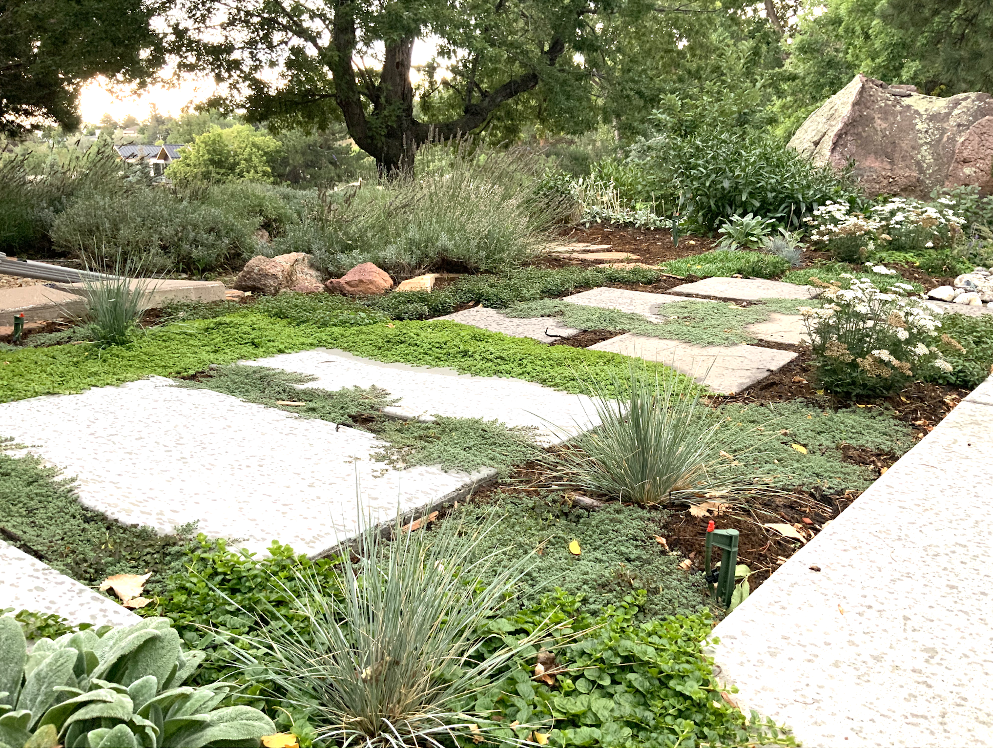
XERISCAPE PLAN
Show visitors example of how to use resources and time and money on landscape, and resources such as low water use drip irrigation, xeric plants to fill in gaps in existing garden,, introduce a naturalized fruit tree or two, and refresh an existing small raised bed veggie garden box. .
Proposed Stakeholder Collaboration
LANDSCAPE DESIGN ❖
PROJECT PLANNING COMMUNITY EDUCATION
PROFESSIONAL INSTALLATION ❖
PROPERTY OWNER / DEVELOPER ❖
CITY + COUNTY HUB REPRESENTATION ❖
Schedule
✔ GOAL = Initial Review + integration aims to be completed in 4 weeks by June _____
APRIL
WEEK 3 (20 - 24 th)
✔ Finalize Design + Submit for HOA Approval
WEEK 4 (27 - 01 st)
✔ Receive HOA Approval + Begin Labor for Hardscape + Irrigation
MAY
WEEK 1 (04 - 08 th)
✔ Sourcing + Labor for Plantings = PROJECT COMPLETE
GOAL = 1st WEEKEND (May 9th) Guests Arrive
JUNE
WEEK 1 (04 - 08 th)
✔ Sourcing + Labor for Plantings = PROJECT COMPLETE
GOAL = 1st WEEKEND (May 9th) Guests Arrive
Design
NATIVE + NATURALIZED LOW WATER USE PLANTINGS
NEW = BLACK EXISTING = GREEN / BROWN / GREY
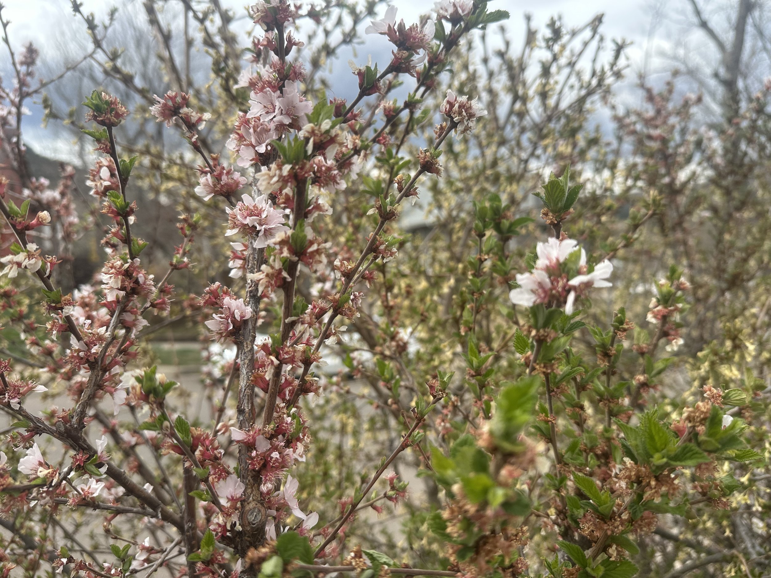
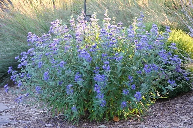
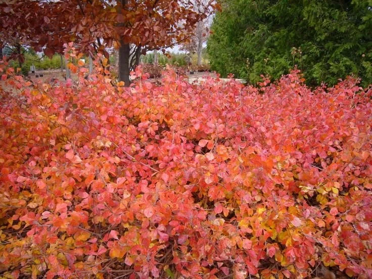
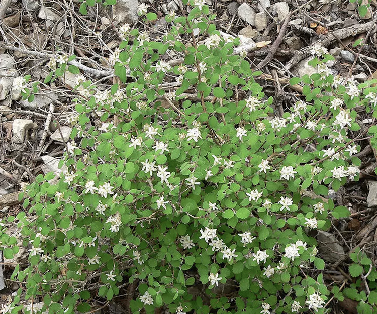
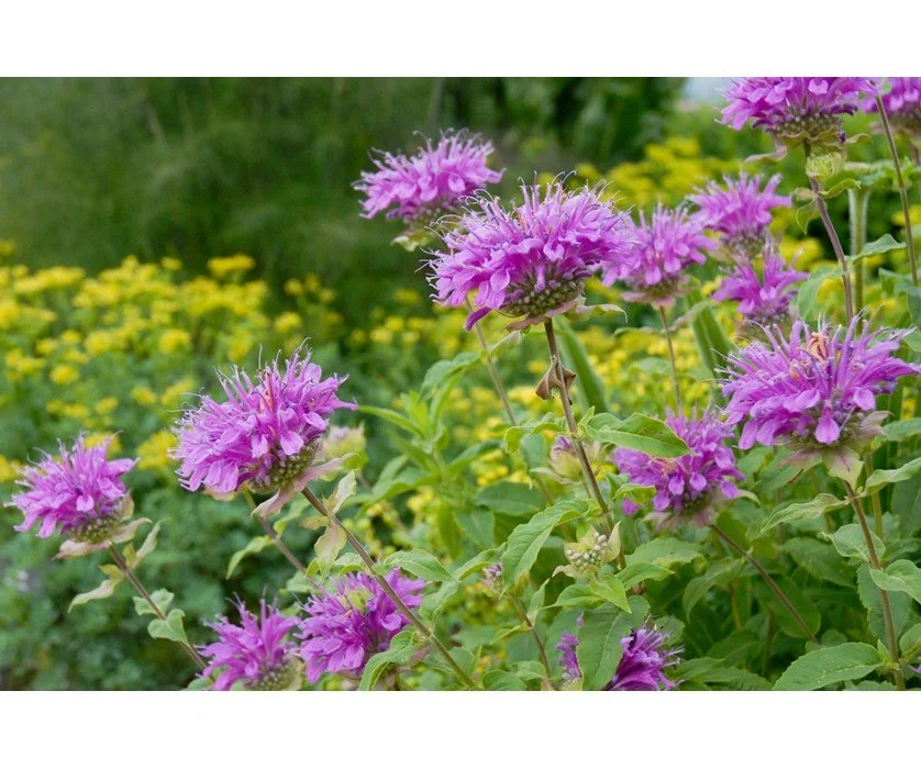
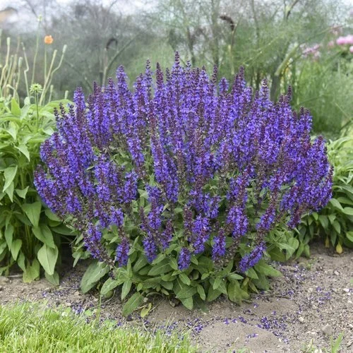
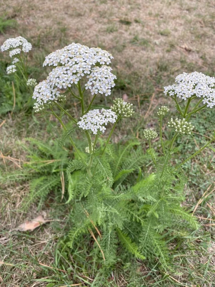
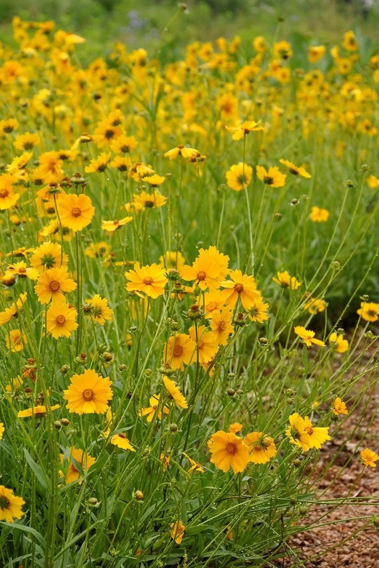
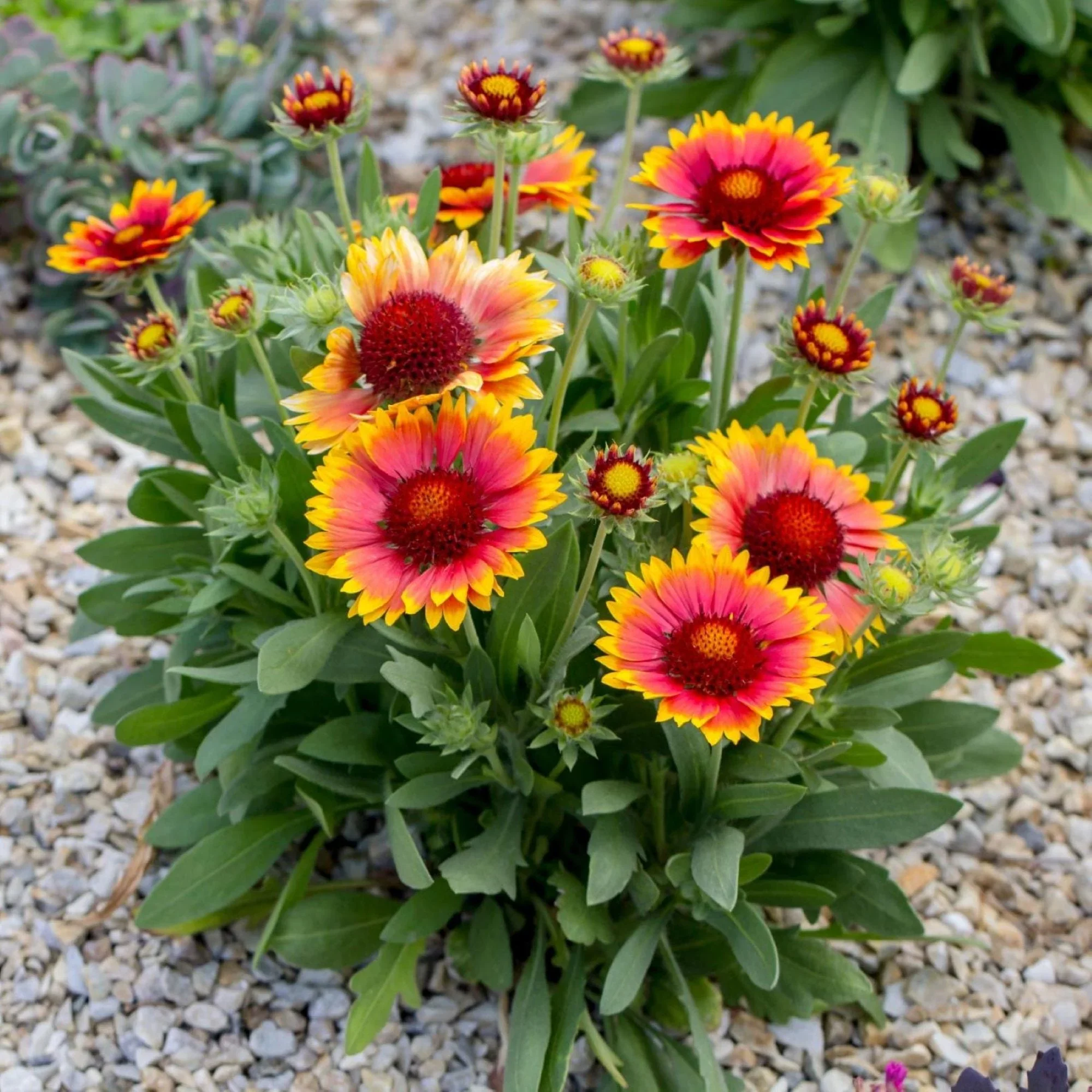
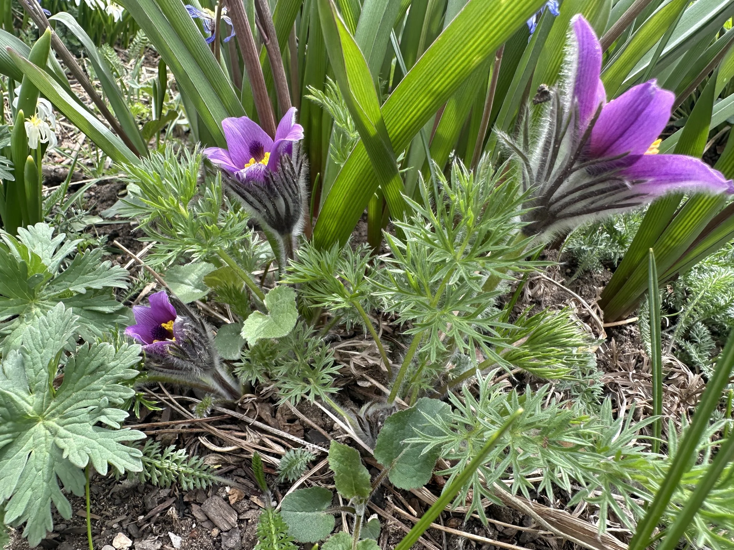
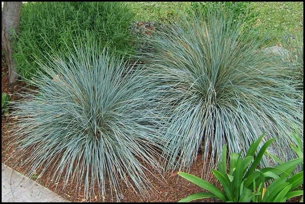
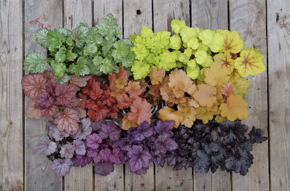
Native Plant List
SUGGESTED SAMPLE
FIND your plants by picture
Sustainability Checklist
FOR HOMEOWNERS, NEIGHBORHOODS, AND COMMUNITY GARDENS
PLAN A
HEALTHY LOW MAINTENANCE ECO SYSTEM
Site Smart Planting
We select native and naturalized plants and plant communities to establish a healthy micro climate, build seasonal immunity, reduce water usage and maintenance long term, and boost native pollinator and root eco systems.
SAVE WITH
SMART USE + LOW WATER SOLUTIONS

Responsible Water Use
Our designs use low water emission, capture water on site to increase moisture retention, balance dispersal for effective use, recharge groundwater, reduce flooding, or keep pollutants out of local waterways.
LOCAL SOURCES
NURSERIES, GROWERS, MATERIAL SUPPLY
Locally Sourced community led
We recommend sourcing your plants and materials through local organizations and businesses to support community business and resources, reduce carbon footprint and keep your economy and ecology strong.
growing community
RE - INTRODUCING
BIODIVERISTY + POLLINATORS

restoring micro systems + Habitat
We promote native and keystone plants to support biodiversity, strengthen ecosystem resilience, create the conditions for life’s living networks to thrive, and sustain neighborhood wildlife routes or wildflower corridors.
RE - BALANCING
GROUNDCOVER TO OVERSTORY

Proactive layers risk prevention
Our designs layer select canopy, understory or mid level shrubery, seasonal blooms, and select ground cover to create a living ecosystem that can help restore elemental balance, offset home energy consumption, and mitigate risk of wildfire or drought.
RE - USING
NATURAL + SUSTAINABLE MATERIALS
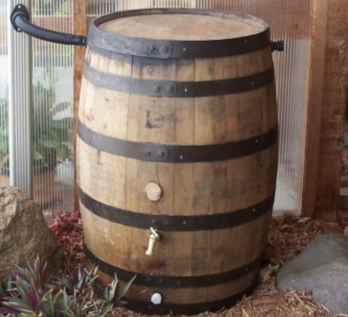
Sustainably REUSED
We recommend recycled or re-suable materials such as wood or whisky drums as rain barrels. recycled plastics that keep our oceans clean, and quality products to decrease consumption or waste.
Got Community Resources?
ASK ABOUT SETTING UP YOUR NEIGHBORHOOD COMMUNITY RESOURCE WEBSITE LANDING PAGE
WHAT’S GROWING NATURALLY?
CONTINUE READING ABOUT SUSTAINABLE ACTIONS + COMMUNITY
❖ How You Engage Your Property Today Is a Key Part Of The Changes Happening

Got A Question?
CONTACT US WITH YOUR INQUIRY OR FAQs